Hello and welcome to the King's City, Koningstad. To begin I'm going to show off some general maps of Laagvlatke.

First is the three communities of Laagvlatke, Laag (south), Vlatke (west), and Palanzia (east).

A cities map, highlighting the main cities. Middenstad is the largest city, followed by Altstad and Noordstad. Of the above cities, Koningstad is the smallest.

Highways Map of Laagvlatke.

Talking of Highways, Along the coast is the beginning of the A12, right off the B636.

Followed soon by Exit 1, the A12 exit for Koningstad, a Dumbell interchange.

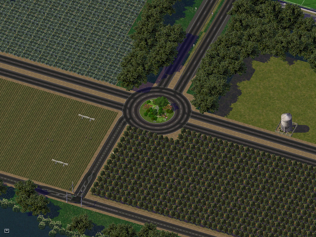
About a mile up the road is the A12/A8 Interchange (A8 goes top/bottom in this pic) just Northwest of the city. Here we'll take Exit 2 onto the roundabout and take it to the A8 West ramp (it's going south at this point but because the road goes E/W for most of it's length).

Getting off at the A8 Koningstad Exit, we go left into downtown where we spot St. Barend's Church and the adjoining Cemetery.

St. Barend's Church, built in 1579.

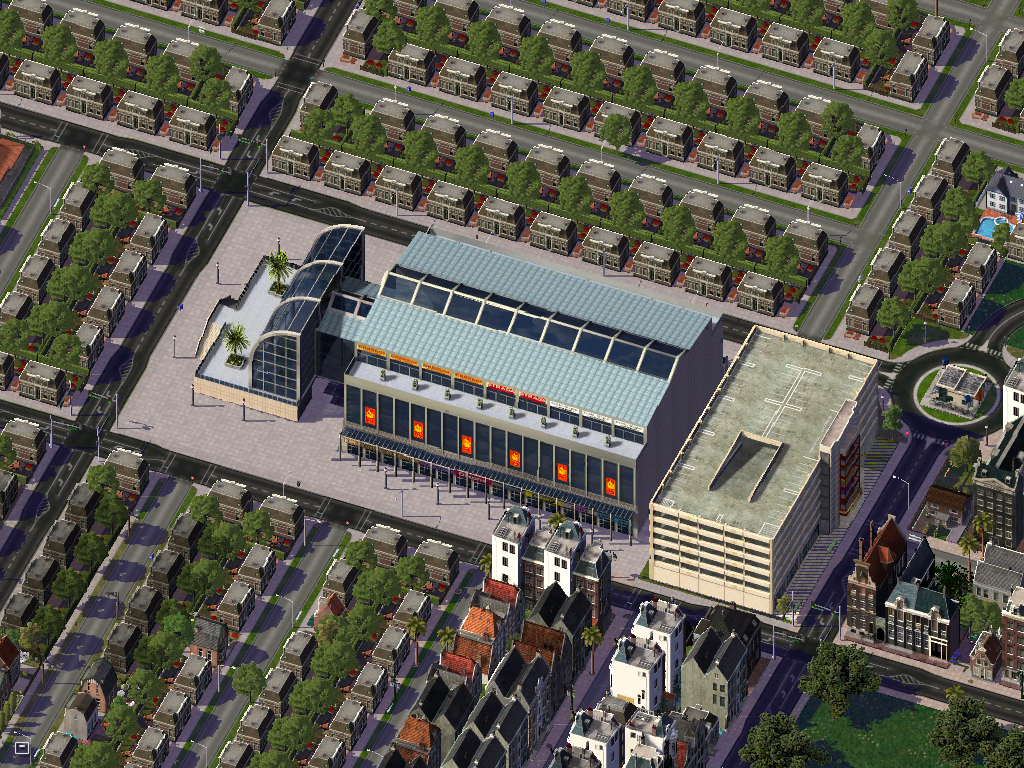
Going slightly north, we see Spoorweg Winkelcentrum, built in 1967, it is the largest shopping center in Southeast Laag.

Further up the road we see the voorgevel straat overpass, which is used by the Grote Prijs van Koningstad as one of the signature corners, Haarspeld.

Koningstad Spoor het station, further along Voorgevel Straat.

Tunnelbeheerder Straat, which goes under the Laag Communautair Spoorwegsysteem's Southeast A-Line.

Just past the Tunnelbeheerder Straat is Koninklijke Stadion, home of KV Van Geleiders.

And into the town center, we see a Zeester Fuel Station. Currently 4.98 Geld for Regular Gasoline.

And home of King Thorbe, PM Tijani van Weenen, and the Wetgevendemacht, is Hoofdstad Tuin.

Back along the other side of the A12 is the training center of KV Van Geleiders.

Now out in the country, we come across some farms on Zee Weg and B636

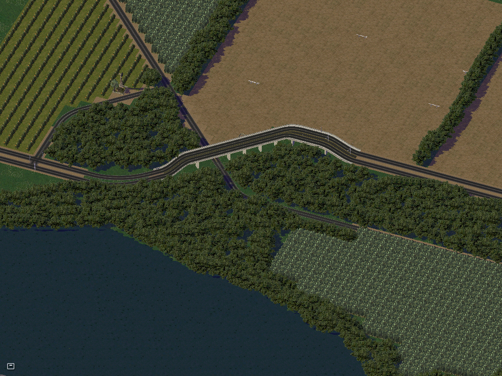
And then the interchange where Zee Weg leaves the waterfront.

And a nice Farm shot I liked...

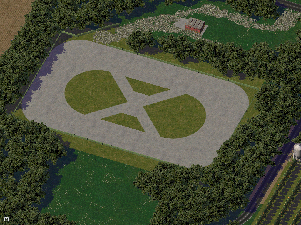
Unfinished pic because I can't get into LE and modify a lot into a grandstand which i'd put in along this site :\
Thanks for viewin ya'll

First is the three communities of Laagvlatke, Laag (south), Vlatke (west), and Palanzia (east).

A cities map, highlighting the main cities. Middenstad is the largest city, followed by Altstad and Noordstad. Of the above cities, Koningstad is the smallest.

Highways Map of Laagvlatke.

Talking of Highways, Along the coast is the beginning of the A12, right off the B636.

Followed soon by Exit 1, the A12 exit for Koningstad, a Dumbell interchange.

About a mile up the road is the A12/A8 Interchange (A8 goes top/bottom in this pic) just Northwest of the city. Here we'll take Exit 2 onto the roundabout and take it to the A8 West ramp (it's going south at this point but because the road goes E/W for most of it's length).

Getting off at the A8 Koningstad Exit, we go left into downtown where we spot St. Barend's Church and the adjoining Cemetery.

St. Barend's Church, built in 1579.

Going slightly north, we see Spoorweg Winkelcentrum, built in 1967, it is the largest shopping center in Southeast Laag.

Further up the road we see the voorgevel straat overpass, which is used by the Grote Prijs van Koningstad as one of the signature corners, Haarspeld.

Koningstad Spoor het station, further along Voorgevel Straat.

Tunnelbeheerder Straat, which goes under the Laag Communautair Spoorwegsysteem's Southeast A-Line.

Just past the Tunnelbeheerder Straat is Koninklijke Stadion, home of KV Van Geleiders.

And into the town center, we see a Zeester Fuel Station. Currently 4.98 Geld for Regular Gasoline.

And home of King Thorbe, PM Tijani van Weenen, and the Wetgevendemacht, is Hoofdstad Tuin.

Back along the other side of the A12 is the training center of KV Van Geleiders.

Now out in the country, we come across some farms on Zee Weg and B636

And then the interchange where Zee Weg leaves the waterfront.

And a nice Farm shot I liked...

Unfinished pic because I can't get into LE and modify a lot into a grandstand which i'd put in along this site :\
Thanks for viewin ya'll

